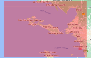
Atlantic marine chart
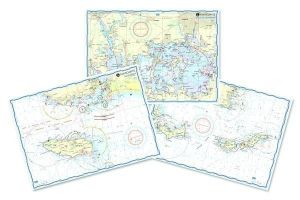
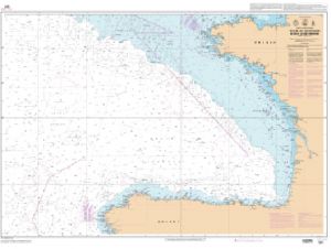
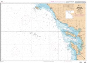
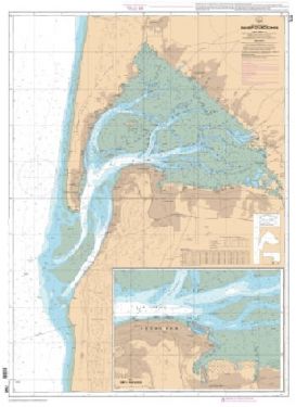
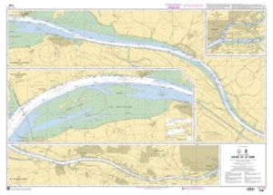
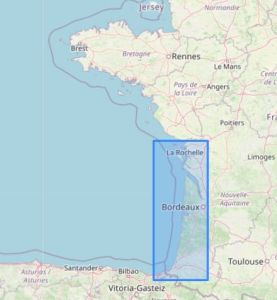
Acquiring an Atlantic nautical chart is essential for any navigation in the Atlantic. These charts allow sailors to navigate safely by providing precise information on coastal contours, depths and potential obstacles. Whether you are planning a transatlantic or coastal cruise, they are a crucial tool for successful navigation.
ACCURATE CHARTS FOR ATLANTIC NAVIGATION
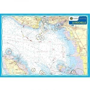
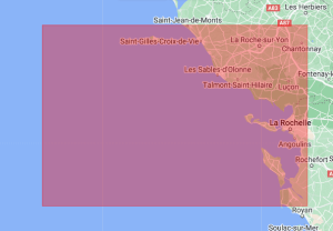
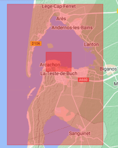
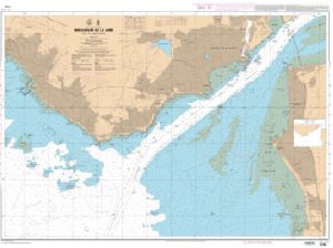
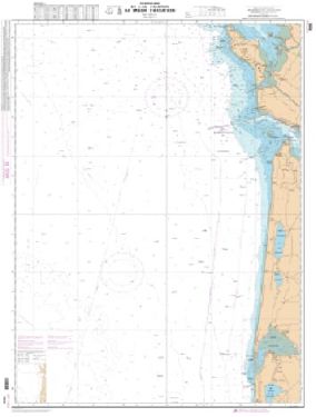
Our maps, like those in , provide exceptional accuracy. With clear details and extensive coverage, they are designed for demanding sailors. The maps of the range provide essential information for safe navigation. These maps also feature detailed seabed, essential for avoiding shoals and reefs.
PRACTICALITY AND DURABILITY OF CARDS
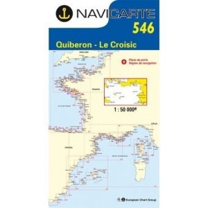
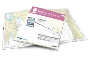
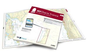
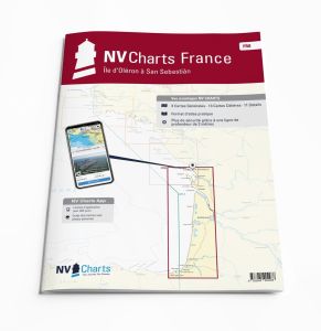
Nautical charts available at are designed in a practical format, easily manipulated at edge. Their protective casings ensure increased durability, even in the most difficult maritime conditions. These cards are available in different formats, such as closed A3 and open A2, making them easier to use.
GLOBAL COVERAGE AND RELIABILITY
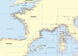
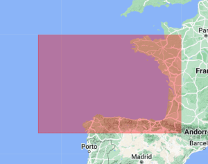
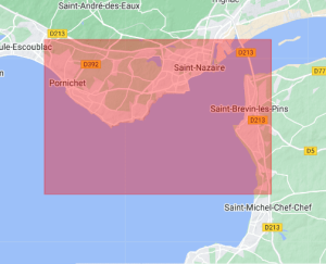
Our Atlantic nautical charts provide worldwide coverage, including specific regions like the >North Atlantic nautical chart and the North Atlantic Ocean chart. They are essential for sailors traveling in varied areas, from Overseas to the Mediterranean. The maps of are particularly appreciated for their reliability and ease of reading, thanks to distinct color graduations and fine contours.
At Nautisports, we are committed to providing quality products for all your navigation needs. Take advantage now of our vast selection of Atlantic nautical charts to plan your next maritime adventure. Trust our expertise to equip your boat with the best nautical equipment.


