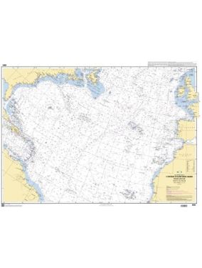
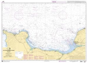
Atlantic Navicard Kit
As low as €6.00
SKU
PL-NAVICARTE-ATLANTIQUE
Ref. : PL-NAVICARTE-ATLANTIQUE

#VALEUR!
Need an advice ?
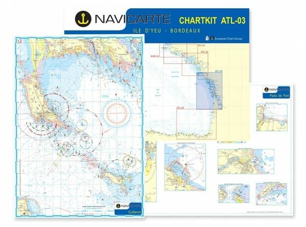
Plastimo's Navicarte Atlantique navigation charts will be perfect for navigating along the French Atlantic coast. They have an A2 format for a simplified use on the chart table.
- Choice of sector: see table below
- A2 format
- Batch of 20 to 30 charts at different scales
- Details of marinas, anchorage areas
- WGS 84 projection system - GPS compatible
Read more
Technical specifications
|
Reference |
Sector |
|
105ATL01 |
South Brittany : from Morgat to Croisic |
|
105ATL02 |
Southern Brittany / Pays de Loire : from Lorient to Ile d'Yeu |
|
105ATL03 |
Vendée/ Charente/ Gironde: from Ile d'Yeu to Bordeaux |
|
105ATL04 |
Bay of Biscay: from Arcachon to Santander |
Write Your Own Review


