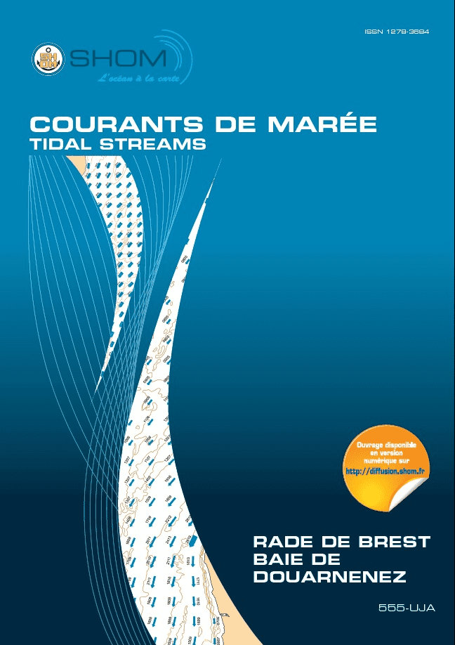
Atlas of currents and water levels Shom
As low as
€53.70
SKU
PL-ATLASCOURANTS
Ref. : PL-ATLASCOURANTS

Our Atlas of Shom Currents and Water Levels is a must-have for any sailor wishing to know the tides for safety or racing performance.
This atlas visualizes bathymetry, all current fields at each hour of average spring and neap tide, and hydrodynamic modeling expertise.
Need an advice ?
SHOM ATLAS OF CURRENTS AND WATER LEVELS: ALL ABOUT THE TIDES IN YOUR AREA
Our Shom Atlas of Currents and Water Levels is a must-have for any sailor wishing to know the tides for safety or racing performance.
This atlas visualizes bathymetry, all current fields at each hour of average spring and neap tide, and hydrodynamic modeling expertise.
The following atlases are available
- 555-UJA Rade de Brest - Baie de Douarnenez
- 557-UJA Pas de Calais / Baie de Somme - Fécamp to Dunkerque
- 558-UJA South coast of Brittany, from Audierne to Croisic
- 559-UJA West coast of France, from Saint-Nazaire to Royan
- 560-UJA Mer d'Iroise - From Île Vierge to the tip of Penmarc'h
- 561-UJA Baie de Seine, Cherbourg to Fécamp
- 562-UJA Golfe Normand - Breton, from Cherbourg to Paimpol
- 563-UJA Côte Nord de Bretagne, from Héaux-de-Bréhat to Pointe de Pontusval
- 564-UJA La Manche, from Dunkirk to Brest
- 565-UJA Bay of Biscay
- 566-UJA Pays de la Loire
Read more
Technical specifications
- Tidal currents SHOM
- Plastimo catalog numbers: 103D555UJA, 103D557UJA, 103D558UJA, 103D559UJA, 103D560UJA, 103D561UJA, 103D562UJA, 103D563UJA, 103D566UJA
Upgrade your gear
Write Your Own Review


