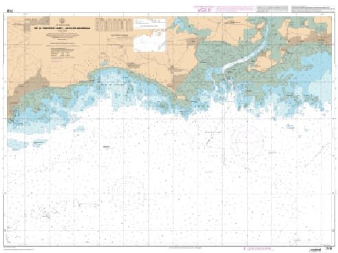
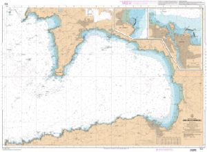
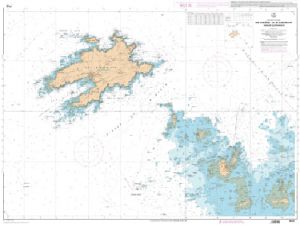
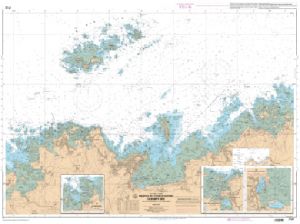
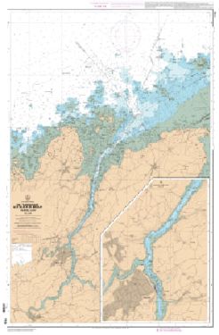
Charts SHOM Atlantique - from Groix to Bougneuf-7135 L - from Pointe de Saint-Jacques to Damgan
€37.90
Preorder | Retour en stock le 27/02/2025
SKU
PL-1037135
Ref. : PL-1037135

The SHOM Atlantic - Groix to Bourgneuf charts cover the Atlantic area from Groix to Bourgneuf. You will find all the coasts and the classic details of a SHOM chart.
Need an advice ?
SHOM ATLANTIC CHARTS - GROIX TO BOURGNEUF : SHOM ATLANTIC CHARTS NORTH BRITTANY
The SHOM Atlantic - Groix to Bourgneuf charts cover the Atlantic area from Groix to Bourgneuf. You will find all the coasts and the classic details of a SHOM chart.
THE SHOM CHART
A SHOM chart is a paper chart filled with latex to give it an excellent water resistance while maintaining a good writing facility. These charts are folded and updated.
Details of areas and scales at the bottom of the page.
Read more
Technical specifications
- Dimensions:
- Folded: A4 (21 x 29.7 cm)
- Unfolded : A0 (84,1 x 118,9 cm)
- Available areas :
- 7032 L - From Groix Island to Belle Ile - outskirts of Lorient - Scale : 1 : 50060
- 7107 L - From Trinité-sur-Mer to Port du Crouesty - Scale : 1 : 10000
- 7135 L - From the Pointe de Saint-Jacques to Damgan - Scale: 1 : 15000
- 7136 L - From the Bay of Pont-Mahé to Piriac-sur-Mer - Scale : 1 : 15000
- 7138 L - Harbors and anchorages in South Brittany - Scale : 1 : 10000
- 7139 L - From the Pointe du Talut to the Pointe de Gâvres - Groix Island - Scale : 1 : 20000
- 7141 L - Quiberon Bay - Scale: 1:20000
- 7142 L - Belle-Ile - Scale : 1 : 25000
- 7143 L - Surroundings of the Islands of Houat and Hoëdic - Scale: 1: 19999
Write Your Own Review


