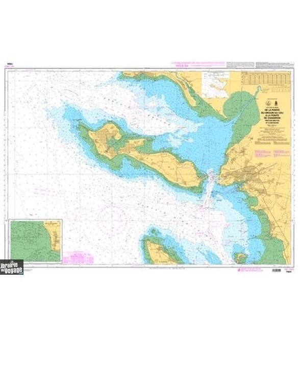
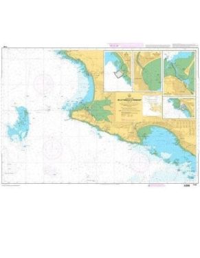
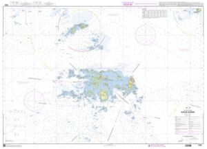
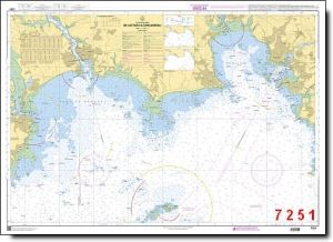
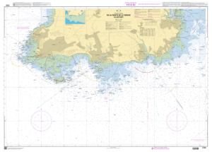
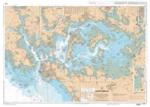
Charts SHOM Atlantic South West France - North Spain-7404 L - from the Pointe du Grouin du Cou to the Pointe de Chassiron

SHOM Atlantic charts South West France - North Spain cover the Atlantic Ocean area on the North coast of Spain and South West France. You will find charts of the Gironde, Basque Country, Arcachon Basin, etc. up to the south of Brittany.
Need an advice ?
SHOM ATLANTIC CHARTS SOUTH WEST FRANCE - NORTH SPAIN : WEST ATLANTIC COAST CHART
SHOM Atlantic charts South West France - North Spain cover the Atlantic Ocean area on the North coast of Spain and South West France. You will find charts of the Gironde, Basque Country, Arcachon Basin, etc. up to the south of Brittany.
SHOM CHART
The SHOM chart is made of paper and latex which gives it an excellent resistance to water while keeping a certain ease of writing. These charts are folded and updated.
Details of areas and scales at the bottom of the page.
Read more
Technical specifications
- Dimensions:
- Folded: A4 (21 x 29.7 cm)
- Unfolded : A0 (84,1 x 118,9 cm)
- Available areas:
- 6797 L - Mouth of the Loire River - Port of Saint-Nazaire - Scale : 1 : 15002
- 6990 L - From the Point of Penmarc'h to the Gironde - Scale : 1 : 354094
- 6991 L - From the Gironde to Cabo Penas - Scale : 1 : 368367
- 7030 L - Course of the Garonne - From Bec d'Ambès to Bordeaux - Scale : 1 : 20003
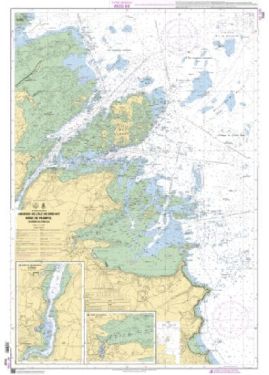
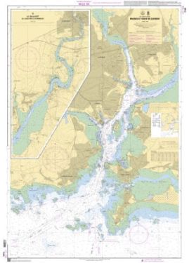
- 7032 L - From Groix Island to Belle Ile - Lorient area - Scale : 1 : 50060
- 7067 L - From Chaussée de Sein to Belle-Ile - Scale : 1 : 160871
- 7068 L - From Quiberon peninsula to Sables-d'Olonne - Scale : 1 : 162379
- 7069 L - From Yeu Island to Pointe de la Coubre - Plateau de Rochebonne - Scale: 1 : 164798
- 7070 L - From Oleron Island to Arcachon Basin - Scale : 1 : 167750
- 7211 L - Bay of Biscay - From Brest to Cabo Finisterre - Scale : 1 : 987934
- 7394 L - From Pointe de Saint-Gildas to Goulet de Fromentine - Bourgneuf Bay - Scale: 1:50488
- 7395 L - From Croisic to Noirmoutier - Loire Estuary - Scale: 1 : 50305
- 7402 L - From Saint-Jean-de-Monts to Sables-d'Olonne - Scale : 1 : 50795
- 7403 L - From Sables d'Olonne to Ile de Ré - Scale : 1 : 51051
- 7404 L - From the Pointe du Grouin du Cou to the Pointe de Chassiron - Pertuis Breton et d'Antioche - Bassin d'Arcachon - Scale : 1 : 51230
- 7405 L - From La Rochelle to the Pointe de La Coubre - Oléron Island - Scale : 1 : 51463
- 7410 L - Yeu Island - Scale: 1 : 19999
- 7411 L - Port of Sables-d'Olonne - Scale: 1 : 10000
- 7412 L - Ile de Ré - From Fier d'Ars to La Flotte - Scale : 1 : 15000
- 7413 L - Surroundings of La Rochelle - Scale : 1 : 15000
- 7415 L - Mouth of the Charente River - Scale: 1:19999
- 7427 L - The Gironde - From Mortagne-sur-Gironde to Bec d'Ambès - The Garonne and the Dordogne to Bordeaux and Libourne - Scale : 1 : 52500
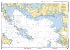
- 7428 L - Arcachon Basin - Scale : 1 : 35000
- 7430 L - Approaches and Port of Bayonne - Adour River - Scale : 1 : 10000
- 7431 L - Bays of Fontarabie and Saint-Jean-de-Luz - Scale: 1 : 12500
- 7656 L - From Santona to Gijon - Scale : 1 : 175000
- 7657 L - From Mimizan-Plage to Cabo de Ajo - Scale : 1 : 175000


