Mediterranean and Corsica marine charts

Navicarte navigation maps will be perfect for navigating along the French coast in the Mediterranean. The dangers are highlighted on the map to make navigation safer.
Need an advice ?
Navicarte navigation maps will be perfect for navigating along the French coast in the Mediterranean. The dangers are highlighted on the map to make navigation safer.
- Sector selection: see table below
- Each chart is periodically reissued
- Folded format: 165 x 315 mm
Read more
Technical specifications
|
N° |
Sector |
Scale |
|
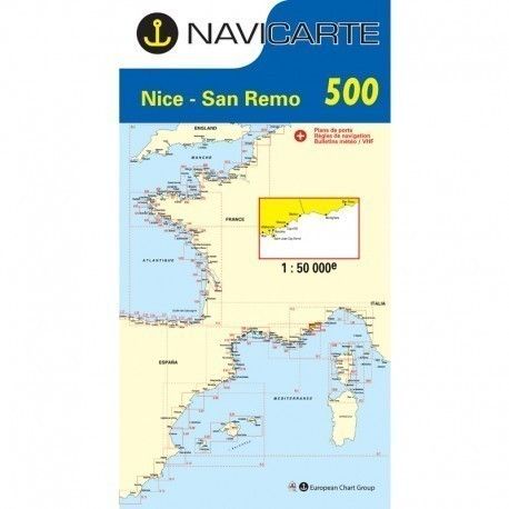
500 |
Nice - San Remo |
1/50 000 |
|
501 |
Saint Raphaël - Nice - Ile de Lérins |
1/50 000 |
|
502 |
Cavalaire - Saint Raphaël |
1/50 000 |
|
503 |
Toulon - Cavalaire - Iles d'Hyères |
1/50 000 |
|
504 |
Marseille - Toulon - The Calanques |
1/50 000 |
|
505 |
Port Saint Louis - Marseille - Etang de Berre |
1/50 000 |
|
507 |
Port Camargue - Port de Bouc |
1/100 000 |
|
508 |
Sète - Port Camargue |
1/50 000 |
|
509 |
Valras - Sète - Etang de Thau |
1/50 000 |
|
510 |
Port Leucate - Valras - Gruissan |
1/50 000 |
|
511 |
Banyuls - Port Leucate - Port Vendres |
1/50 000 |
|
R1 |
Marseille - San Remo |
1/250 000 |
|
R4 |
Gulf of Lion - Marseille - Barcelona |
1/500 000 |
|
R7 |
Western Mediterranean |
1/1 000 000 |
|
1006 |
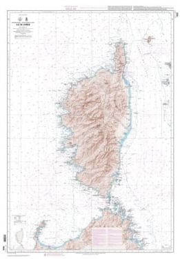
Calvi - Bastia |
1/100 000 |
|
1007 |
Calvi - Propriano |
1/100 000 |
|
1008 |
Propriano - Bonifacio - La Maddalena |
1/100 000 |
|
1004 |
East Corsica - Elba Island |
1/100 000 and 1/150 000 |
|
R3 |
Corsica - North Sardinia |
1/250 000 |


