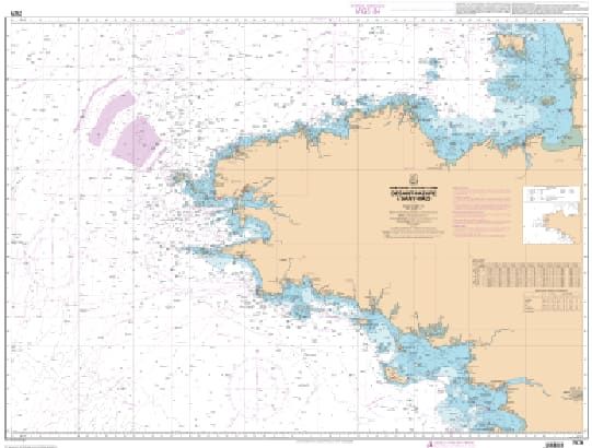
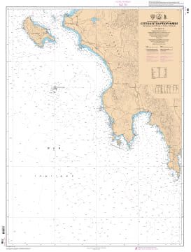
Charts SHOM Atlantic - Western Channel
€37.90
SKU
PL-SHOMATLMANCHE
Ref. : PL-SHOMATLMANCHE

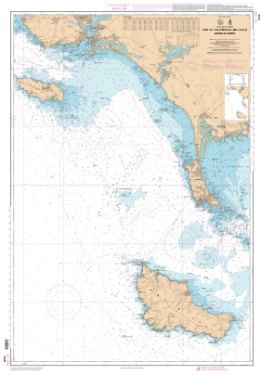
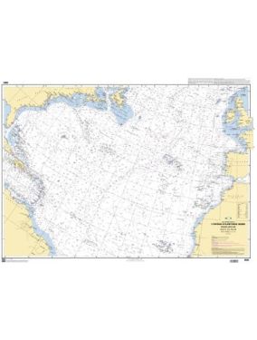
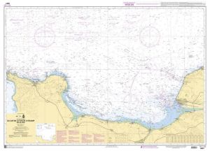
The SHOM Atlantic - West Channel charts cover the Atlantic area and the West Channel. You will find all the coasts and the classic details of a SHOM chart.
Need an advice ?
SHOM ATLANTIC - WEST CHANNEL CHARTS : SHOM ATLANTIC CHANNEL CHART
The SHOM Atlantic - West Channel charts cover the Atlantic area and the West Channel. You will find all the coasts and the classic details of a SHOM chart.
THE SHOM CHART
The SHOM chart is a paper and latex chart. This second material allows to keep an excellent resistance to water while maintaining a good ease of writing. These charts are folded and updated.
Details of areas and scales at the bottom of the page.
Read more
Technical specifications
- Dimensions:
- Folded: A4 (21 x 29.7 cm)
- Unfolded : A0 (84,1 x 118,9 cm)
- Available areas:
- 6680 L - From Ushant Island to Batz Island - Scale : 1 : 156702
- 6745 L - Scilly Islands - Scale : 1 : 25000
- 6903 L - Guernsey and Herm - Scale: 1 : 25000
- 6930 L - From Portsall Rocks to the Dover Rocks Plateau - Scale: 1:156274
- 6940 L - From Start Point to The Needles - Traffic Separation Scheme off the Casquets - Scale: 1 : 152476
- 6941 L - Lizard Point to Dartmouth - Scale: 1:153520
- 6966 L - From Les Héaux-de-Bréhat to Cap Lévi - Scale : 1 : 155508
- 6967 L - From Saint Agnes Head to Dodman Point - Isles of Scilly - Scale: 1 : 153539
- 7031 L - From Penfret Island to Plateau des Birvideaux - Lorient's surroundings - Scale: 1: 49848
- 7032 L - From Groix Island to Belle Ile - Lorient outskirts - Scale : 1 : 50060
- 7033 L - From Quiberon to Croisic - Scale 1 : 50000
- 7066 L - From Ile Vierge to Pointe de Penmarc'h - Brest surroundings - Scale: 1 : 158837
- 7067 L - From Chaussée de Sein to Belle-Ile - Scale: 1 : 160871
- 7068 L - From Quiberon peninsula to Sables-d'Olonne - Scale : 1 : 162379
- 7076 L - From St Malo to St Nazaire - Scale: 1 : 350000
- 7094 L - From Phare du Four to Ile Vierge - Port de l'Aber-Wrac'h - Scale : 1 : 24952
- 7095 L - Morlaix Bay - From Batz Island to Primel Point - Scale: 1:20000
- 7121 L - Douarnenez Bay - Scale: 1:30000
- 7124 L - Lannion Bay - From Pointe de Primel to Ile Grande - Scale: 1:19988
- 7146 L - From the Pointe de Penmarc'h to the Pointe de Trévignon - Scale: 1 : 49754
- 7147 L - From the Chaussée de Sein to the Pointe de Penmarc'h - Bay of Audierne - Scale: 1 : 49601
- 7148 L - From the Goulet of Brest to the Chaussée de Sein - Scale : 1 : 49339
- 7150 L - From Portsall to Kernic Cove - Scale : 1 : 48875
- 7151 L - From Kernic Cove to Ile Grande - Scale: 1 : 48749
- 7152 L - From Ile Grande to Ile de Bréhat - Scale: 1 : 48666
- 7153 L - From Brehat Island to Plateau des Roches Douvres - Scale: 1 : 48575
- 7159 L - From Guernsey, Herm and Sark to Alderney - Bancs des Casquets - Scale: 1: 47983
- 7172 L - From Pointe de Saint-Mathieu to Chaussée de Sein - Iroise - Scale: 1 : 49326
- 7210 L - Landings at the entrance to the English Channel - Celtic Sea - Scale: 1:500000
- 7311 L - English Channel (Western part) - From Isles of Scilly and Ushant Island to Casquets - Scale: 1: 378682
- 7400 L - Rade de Brest - Scale: 1 : 22500
Write Your Own Review


