SHOM Atlantic charts - Ushant to Groix
€37.90
SKU
PL-SHOMOUESSANT
Ref. : PL-SHOMOUESSANT

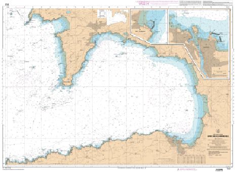
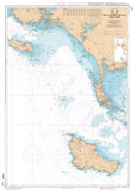
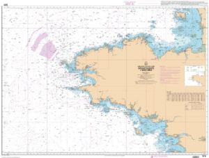
The SHOM Atlantic - Ushant to Groix charts cover the Atlantic zone of France from Ushant to Groix. You will find all the coasts and the classic details of a SHOM chart.
Need an advice ?
SHOM ATLANTIC CHARTS - OUESSANT TO GROIX : SHOM MARITIME CHART OUESSANT
The SHOM Atlantic - Ushant to Groix charts cover the Atlantic zone of France from Ushant to Groix. You will find all the coasts and the classic details of a SHOM chart.
THE SHOM CHART
Made of paper and filled with latex, a SHOM chart is a navigation chart that offers excellent water resistance while maintaining good writing ease. These charts are folded and updated.
Details of areas and scales at the bottom of the page.
Read more
Technical specifications
- Dimensions :
- Folded: A4 (21 x 29.7 cm)
- Unfolded : A0 (84,1 x 118,9 cm)
- Available areas :
- 6645 L - Point of Penmarc'h - Approaches of St-Guénolé and Kérity - Scale : 1 : 14999
- 6646 L - Approaches and harbors of Guilvinec and Lesconil - Scale: 1 : 15002
- 6797 L - Mouth of the Loire River - Port of Saint-Nazaire - Scale: 1: 15002
- 7031 L - From the island of Penfret to the Plateau des Birvideaux - Approaches to Lorient - Scale: 1: 49848
- 7094 L - From the Four Lighthouse to the Virgin Island - Aber-Wrac'h Harbour - Scale: 1:24952
- 7121 L - Douarnenez Bay - Scale: 1:30000
- 7122 L - From the Pointe de Saint-Mathieu to the Four lighthouse - Chenal du Four - Scale: 1: 25037
- 7123 L - Molène Island - Ushant Island - Fromveur Passage - Scale: 1:20000
- 7139 L - From Pointe du Talut to Pointe de Gâvres - Groix Island - Scale: 1:20000
- 7146 L - From the Pointe de Penmarc'h to the Pointe de Trévignon - Scale: 1 : 49754
- 7147 L - From the Chaussée de Sein to the Pointe de Penmarc'h - Bay of Audierne - Scale: 1 : 49601
- 7148 L - From the Goulet of Brest to the Chaussée de Sein - Scale : 1 : 49339
- 7150 L - From Portsall to Kernic Cove - Scale : 1 : 48875
- 7172 L - From the Pointe de Saint-Mathieu to the Chaussée de Sein - Iroise - Scale : 1 : 49326
- 7249 L - Ports and anchorages in South Finistère - Course of the Odet - Ports of Bénodet and Ste Marine - Port of Loctudy - Anchorages Islands of Glénan - Porty La Forêt - POrt of Concarneau - Scale : 1 : 20000
- 7397 L - Rade de Brest (South part) - Anse du Fret - Anse du Poulmic - Scale : 1 : 10001
- 7398 L - Rade de Brest (Western part) - Bay of Roscanvel - Anse du Fret - Scale: 1: 9998
- 7399 L - Port of Brest - Scale: 1 : 7500
- 7400 L - Rade de Brest - Scale : 1 : 22500
- 7401 L - Access to the Rade of Brest - Scale: 1: 22504
- 7423 L - Raz de Sein - Scale: 1 : 20000
Write Your Own Review


