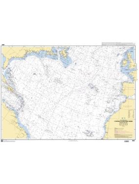
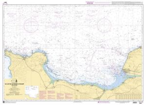
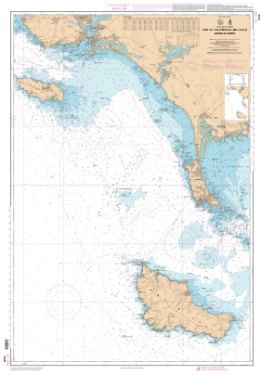
Charts SHOM Atlantic - Central Channel
As low as
€36.70
SKU
PL-SHOMMANCHECNTR
Ref. : PL-SHOMMANCHECNTR

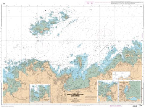
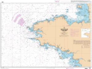
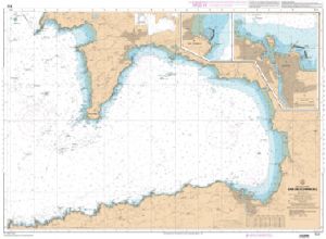
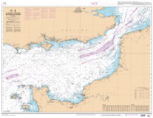
The SHOM Atlantic - La Manche Centre charts cover the area from La Manche to the Atlantic. You will find all the coasts and the classic details of a SHOM chart.
Need an advice ?
SHOM ATLANTIC - CENTRAL CHANNEL CHARTS : SHOM CENTRAL CHANNEL CHART
The SHOM Atlantic - La Manche Centre charts cover the area from La Manche to the Atlantic. You will find all the coasts and the classic details of a SHOM chart.
SHOM CHART
A SHOM chart is a paper chart filled with latex in order to offer water resistance while maintaining a good writing facility. These charts are folded and updated.
Details of areas and scales at the bottom of the page.
Technical specifications
- Dimensions:
- Folded: A4 (21 x 29.7 cm)
- Unfolded : A0 (84,1 x 118,9 cm)
- Available areas :
- 4233 L - The Rance - From Saint-Malo to the Châtelier Lock - Scale : 1 : 15000
- 6683 L - Port of Le Havre - Entrance to the Rouen Channel - Scale : 1:15000
- 6903 L - Guernsey and Herm - Scale: 1:25000
- 6930 L - From the Portsall Rocks to the Dover Rocks Plateau - Scale: 1:156274
- 6934 L - Alderney and the Casquets - Scale: 1 : 25000
- 6937 L - Jersey - North Shore - Scale: 1 : 25000
- 6938 L - Approaches to Saint Helier - Scale : 1 : 25000
- 6939 L - Jersey - East Coast - Scale : 1 : 25000
- 6940 L - Start Point to The Needles - Traffic Separation Scheme off the Casquets - Scale: 1: 152476
- 6941 L - Lizard Point to Dartmouth - Scale: 1:153520
- 6966 L - From Les Héaux-de-Bréhat to Cape Levi - Scale: 1 : 155508
- 6968 L - From Anvil Point to Beachy Head - Scale: 1 : 150000
- 7086 L - Cherbourg Harbour - Scale: 1:7500
- 7090 L - From Barfleur Point to Saint-Vaast-la-Hougue - Scale: 1 : 19996
- 7092 L - From the Pointe de Nacqueville to Cap Lévi - Cherbourg Harbor - Scale: 1 : 19997
- 7120 L - Cherbourg Shores - From Cap de La Hague to Pointe de Barfleur - Scale: 1:47800
- 7124 L - Bay of Lannion - From Pointe de Primel to Ile Grande - Scale: 1:19988
- 7125 L - Surroundings of Perros-Guirec - The Seven Islands - From Ile Grande to Ile Balanec - Scale: 1: 20007
- 7126 L - From Balanec Island to Les Héaux-de-Bréhat - Course of the Jaudy - Scale: 1 : 19996
- 7128 L - Bay of Saint-Brieuc (Western part) - From Pointe de la Tour to Anse d'Yffiniac - Scale: 1:24999
- 7129 L - From Cap Fréhel to Saint Briac-sur-Mer - Scale : 1 : 20000
- 7130 L - Surroundings of Saint-Malo - From the island of Hebihens to the Pointe de la Varde - Scale: 1 : 15000
- 7131 L - From Hâvre de Rothéneuf to Cancale - Scale: 1: 19997
- 7133 L - Ports of the West coast of Cotentin - Scale: 1 : 20000
- 7134 L - Chausey Islands - Ports in the Bay of Seine - Scale: 1: 14998
- 7151 L - From Kernic Cove to Ile Grande - Scale: 1:48749
- 7152 L - From Ile Grande to Ile de Bréhat - Scale: 1 : 48666
- 7153 L - From Brehat Island to Plateau des Roches Douvres - Scale: 1 : 48575
- 7154 L - From Brehat Island to Cap Fréhel - Bay of Saint-Brieuc - Scale : 1 : 48849
- 7156 L - From Pointe du Grouin to Pointe d'Agon - Bay of Mont-Saint-Michel - Chausey Islands - Scale: 1 : 48752
- 7157 L - From Pointe d'Agon to Cap de Carteret - Passage de la Déroute - Scale : 1 : 48361
- 7158 L - From Cap de Carteret to Cap de la Hague - Raz Blanchard - Scale: 1 : 47970
- 7159 L - From Guernsey, Herm and Sark to Alderney - Bancs des Casquets - Scale : 1 : 47983
- 7160 L - Jersey to Guernsey - Scale: 1:48293
- 7161 L - Chausey Islands to Jersey - Plateau des Minquiers - Scale: 1:48528
- 7310 L - Bay of Saint-Brieuc (eastern part) - From Dahouët to Cap Fréhel - Scale: 1: 25003
- 7341 L - Surroundings of Granville - Scale: 1:15000
- 7417 L - Surroundings of Fécamp and Dieppe - From Cap d'Antifer to Dieppe - Scale: 1 : 75890
- 7418 L - Le Havre and Antifer shores - Mouth of the Seine - From Ouistreham to Cap d'Antifer - Scale: 1: 60001
- 7420 L - Ports in the Seine Bay - Scale: 1:17500
- 7421 L - From Pointe de La Percée to Ouistreham - Scale: 1 : 48100
- 7422 L - From Pointe de Barfleur to Pointe de La Percée - Iles Saint-Marcouf - Scale: 1:48006
- 7646 L - The Solent - Western Approach - Scale: 1:25000
- 7647 L - The Solent and Southampton Water - Scale: 1 : 25000
- 7648 L - The Solent - Eastern Approaches - Scale : 1 : 25000
Write Your Own Review


