SHOM Mediterranean Sea charts Aegean Sea - Greece - Turkey

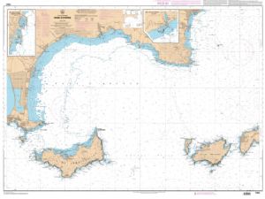
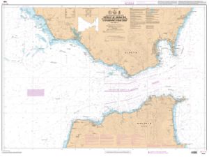
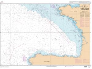
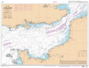
The SHOM Mediterranean Sea - Greece - Turkey charts are maritime charts covering the Mediterranean areas of the Aegean Sea, Greece and Turkey. These charts include all the coastlines and details of a SHOM chart.
Need an advice ?
SHOM MEDITERRANEAN CHARTS AEGEAN SEA - GREECE - TURKEY : AEGEAN SEA AND MEDITERRANEAN MARITIME CHARTS
The SHOM Mediterranean Sea - Greece - Turkey charts are maritime charts covering the Mediterranean areas of the Aegean Sea, Greece and Turkey. These charts include all the coastlines and details of a SHOM chart.
THE SHOM CHART
The SHOM chart is made of paper and filled with latex in order to give it a high resistance to water and to keep a certain ease of writing on the chart. These charts are folded and updated.
Details of areas and scales at the bottom of the page.
Read more
Technical specifications
- Dimensions :
- Folded: A4 (21 x 29.7 cm)
- Unfolded : A0 (84,1 x 118,9 cm)
- Available areas:
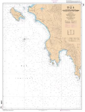
- 7195 L - West coast of Peloponnese - from Nisos Zakinthos to Akra Tainaro - Scale : 1 : 250000
- 7196 L - South Coast of Greece - from Akra Tainaro to Nisos Milos and western part of Nisos Kriti - Scale : 1 : 251078
- 7253 L - Gulf of Corinth (Korinthiakos Kolpos) - Gulf of Patras (Patraïkos Kolpos) - Scale : 1 : 170019
- 7254 L - Gulf of Athens (Satonikos Kolpos) - Scale: 1:84694
- 7265 L - Aegean Sea - Southern part - Scale: 1:500000
- 7272 L - Ionian Islands (Ionioi Nisoi) - From Nisos Othonoi to Nisos Zakinthos - Scale: 1 : 250000
- 7284 L - from Argolikos Kolpos to Nios Poros - Scale: 1 : 85203
- 7531 L - Nisos Kriti (Eastern part) - From Nisos Thira (Santorini) to Nisos Kasos - Scale: 1 : 250000


