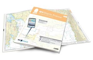
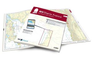
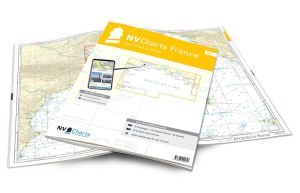
NV Atlas France - FR10 - from Toulon to Menton - Monaco

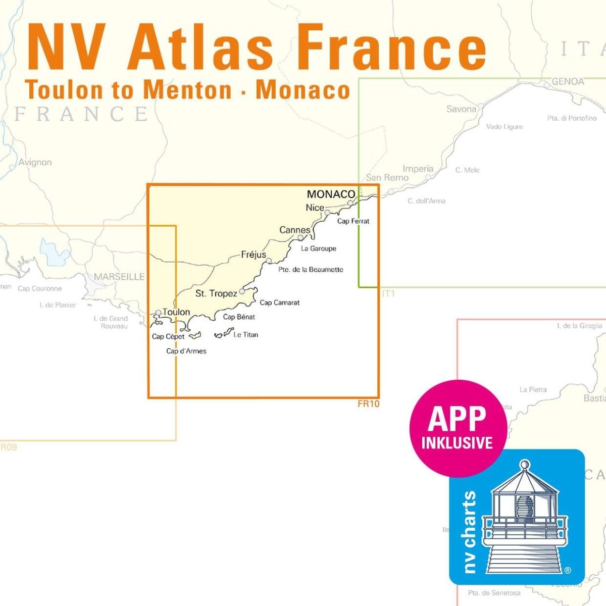
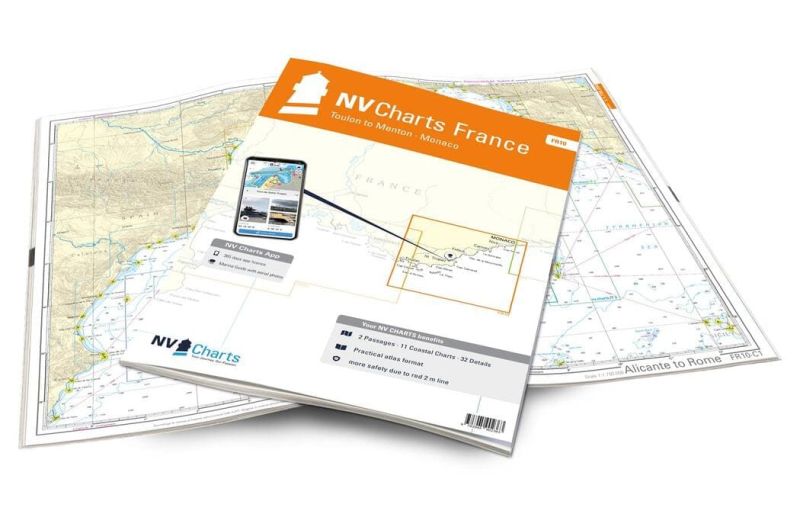
NV Atlas France - FR10 - from Toulon to Menton - Monaco are nautical charts covering the areas from Toulon to Monaco.
These maps will guide you along the Lavandou and the Côte d'Azur and its timeless bays. These maps cover the port city of Toulon, the islands of Hyères, Porquerolles and Port Cros, Saint-Tropez, Port-Grimaud, Cannes, Cap Ferrat, etc..
Need an advice ?
NV ATLAS FRANCE - FR10 - DE TOULON A MENTON - MONACO : LA COTE D'AZUR
NV Atlas France - FR10 - Toulon to Menton - Monaco are nautical charts covering the areas from Toulon to Monaco.
These maps will guide you along the Lavandou and the Côte d'Azur and its timeless bays. These maps cover the port city of Toulon, the islands of Hyères, Porquerolles and Port Cros, Saint-Tropez, Port-Grimaud, Cannes, Cap Ferrat, etc.
CLEAR, COMPREHENSIVE MAPS
In this handy atlas, you'll find 2 general maps and 11 coastal maps showing access points, ports and anchorages, plus 32 important details.
Navigation advice is given in French and English, and a tide table is included.
In addition to this paper Atlas, NV Charts offers youaccess to its charts in digital format, and the possibility ofsetting up your own navigation program to guide you through your journey. Port maps are also available in digital format.
Read more
Technical specifications
- Format :
- Open: A2
- Closed: A3
- Cards :
- 2 General Maps :
- C1 Alicante to Rome 1 : 1.750.000
- C2 Côte d'Azur 1 : 350.000
- 11 Coastal Maps
- C3 Toulon to Cap Camarat 1 : 150.000
- C4 Cap Camarat to Antibes 1 : 150.000
- C5 Antibes to Imperia 1 : 150.000
- C6 Toulon to Presqu'ile de Giens 1 : 50.000
- C7 Presqu'ile de Giens to Cap Blanc 1 : 50.000
- C8 Cap Blanc to Vergeron 1 : 50.000
- C9 Vergeron to San-Peire-sur-Mer 1 : 50.000
- C10 San-Peire-sur-Mer to Miramar 1 : 50.000
- C11 Miramar to Antibes 1 : 50.000
- C12 Antibes to Cap Ferrat 1 : 50.000
- C13 Cap Ferrat to Menton 1 : 50.000
- 32 Details :
- C14 Toulon Approach 1 : 18.000
- C15A Toulon 1 : 6.000
- C15B Port de la Seyne 1 : 8.000
- C15C St.-Mandrier-sur-Mer 1 : 6.000
- C15D Port Pin-Rolland 1 : 6,000
- C15E Carqueiranne 1: 6,000
- C16A Petite Passe 1 : 25.000
- C16B Île de Porquerolles 1: 12,000
- C16C Hyères-Plage 1: 12,000
- C16D Les Bormettes 1: 12,000
- C16E Île de Port-Cros 1: 12,000
- C16F Le Lavandou 1: 12,000
- C16G Cavalaire-sur-Mer 1: 12,000
- C17A St. Tropez 1 : 12.000
- C17B Port Grimaud 1 : 12.000
- C17C Ste. Maxime 1 : 12.000
- C17D San-Peire-sur-Mer 1 : 12.000
- C17E St. Aygulf 1 : 12.000
- C17F Agay 1: 12,000
- C17G Frejus 1: 12,000
- C18 Cannes to Antibes 1 : 30.000
- C19A Port de la Galere to La Napoule 1 : 12.000
- C19B Figueirette-Miramar 1 : 12.000
- C19C Golfe Juan 1 : 12.000
- C19D Cannes 1 : 12.000
- C20A Port Gallice 1: 12,000
- C20B Antibes 1: 12,000
- C20C Marina Baie des Angers 1 : 12.000
- C20D St. Laurent-du-Var 1 : 12.000
- C20E Monaco 1: 12,000
- C20F Menton 1 : 12.000
- C21 Nice - Cap Ferrat 1 : 15.000
- 2 General Maps :
- Application code (valid for 365 days from activation)
- Digital maps & Navigation program
- Navigation tips: English and French
- Tide tables
- Paper + digital port maps
- Responds to legal requests for up-to-date paper charts on board


