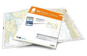
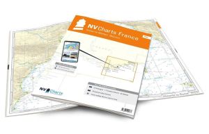
NV Atlas France - FR11 - Corsica

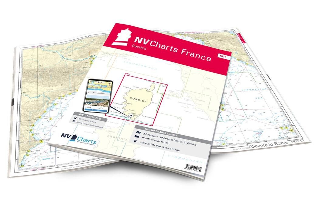
NV Atlas France - FR11 - La Corse are marine charts covering the entire coastline of Corsica.
These NV Charts will guide you around theIsle of Beauty and its many ports: Bastia, Ajaccio, Porto Vecchio, Saint-Florent, Calvi, Propriano and Bonifacio. Discover Corsica by sea, and admire the mountains, peaks and forests of the island from the comfort of your boat.
Need an advice ?
NV ATLAS FRANCE - FR11 - LA CORSE : NAUTICAL CHARTS COVERING THE ENTIRE CORSICAN COASTLINE
NV Atlas France - FR11 - La Corse charts cover the entire coastline of Corsica.
These NV Charts will guide you around theIsle of Beauty and its many ports: Bastia, Ajaccio, Porto Vecchio, Saint-Florent, Calvi, Propriano and Bonifacio. Discover Corsica by sea, and admire the mountains, peaks and forests of the island from the comfort of your boat.
CLEAR, COMPREHENSIVE MAPS
In this handy atlas, you'll find 2 general charts and 19 coastal charts showing access points, ports and anchorages, plus 21 important details.
Navigation advice is given in French and English, and a tide table is included.
In addition to this paper Atlas, NV Charts offers youaccess to its charts in digital format, and the possibility ofsetting up your own navigation program to guide you through your journey. Port maps are also available in digital format.
Read more
Technical specifications
- Format :
- Open: A2
- Closed: A3
- Cards :
- 2 General Maps :
- C1 Alicante to Rome 1: 1.750.000
- C2 Corsica 1: 350.000
- 19 Coastal Maps
- C3 Cap Corse to Elba 1: 150.000
- C4 Cap Corse to Calvi 1: 150.000
- C5 Calvi to Ajaccio 1: 150.000
- C6 Ajaccio to Pte. de Senetosa 1: 150.000
- C7 Pte. de Senetosa to Cap Pertusato 1: 150.000
- C8 Cap Pertusato to Marina du Caprone 1: 150.000
- C9 Marina du Caprone to Bastia 1: 150.000
- C10 Bastia to Macinaggio 1: 60.000
- C11 Macinaggio to Port de Centuri 1: 60.000
- C12 Port de Centuri to Pta. di Malfalcu 1: 60.000
- C13 Pta. di Malfalcu to Calvi 1: 60.000
- C14 Calvi to Gargalu 1: 60.000
- C15 Gargalu to Pta. d'Omigna 1: 60.000
- C16 Pta. d'Omigna to Sanguinaires 1: 60.000
- C17 Sanguinaires to Cap Muro 1: 60.000
- C18 Cap Muro to Pte. de Senetosa 1: 60.000
- C19 Pte. de Senetosa to Cap de Feno 1: 60.000
- C20 Strait of Bonifacio 1: 60.000
- C21 Ile Cavallo to Porto-Vecchio 1: 60.000
- 21 Details :
- C22 A Bastia 1: 12.000
- C22 B Port de Taverna 1: 6.000
- C22 C Santa Severa 1: 6.000
- C22 D Macinaggio 1: 12.000
- C22 E Port of Centuri 1: 12.000
- C23 A Gulf of St.-Florent 1: 12.000
- C23 B St. Ambrogio 1: 6.000
- C23C L'Ile Rousse 1: 12.000
- C24 A Golfe de Calvi 1: 12.000
- C24 B Ajaccio 1: 12.000
- C25 A Propriano 1: 12.000
- C25 B Porto Pollo 1: 10.000
- C25 C Baie de Campomoro 1: 12.000
- C26 A Cargèse 1: 6.000
- C26 B Baie de Figari 1: 12.000
- C27 A Bonifacio 1: 6.000
- C27 B Cavallo & Lavezzi Islands 1: 25.000
- C28 A Gulf of Porto-Vecchio 1: 25.000
- C28 B Gulf of Pinarellu 1: 25.000
- C28 C Solenzara 1: 6.000
- C29 Porto-Vecchio 1: 10.000
- 2 General Maps :
- Application code (valid for 365 days from activation)
- Digital maps & Navigation program
- Navigation tips: English and French
- Tide tables
- Paper + digital port maps
- Responds to legal requests for up-to-date paper charts on board


