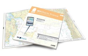
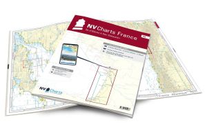
NV Atlas France - FR3 - St Malo aux Sept Îles

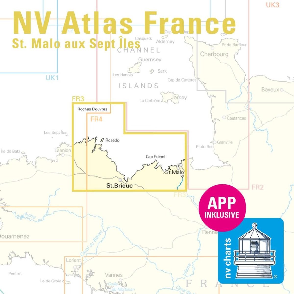
NV Atlas France - FR3 - St Malo aux Sept Îles charts are marine charts covering the English Channel and North Sea between Dunkirk and Cherbourg.
These charts will guide you through areas with strong winds and currents, where tidal ranges can reach 14 meters. You'll be guided into the Bay of Saint-Brieuc, where 104-meter cliffs edge the sea..
Need an advice ?
NV ATLAS FRANCE - FR3 - ST MALO AUX SEPT ILES : NAUTICAL CHARTS FOR THE ENGLISH CHANNEL AND THE NORTH SEA
NV Atlas France - FR3 - St Malo aux Sept Îles charts cover the English Channel and North Sea between Dunkirk and Cherbourg.
These charts will guide you through areas with strong winds and currents, where tidal ranges can reach 14 meters. You'll be guided through the Bay of Saint-Brieuc, where 104-metre cliffs edge the sea.
CLEAR, COMPREHENSIVE MAPS
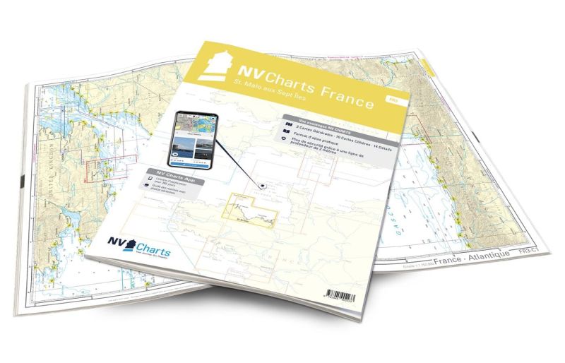
In this handy atlas, you'll find 3 general charts and 10 coastal charts showing access points, ports and anchorages, plus 14 important details.
Navigation advice is given in French and English, and a tide table is included.
In addition to this paper Atlas, NV Charts offers youaccess to its charts in digital format, and the possibility ofsetting up your own navigation program to guide you through your journey. Port maps are also available in digital format.
Read more
Technical specifications
- Format:
- Open: A2
- Closed: A3
- Cards :
- 3 General Maps :
- C1 France - Atlantic 1: 1.750.000
- C2 Brittany - West 1: 350.000
- C3 Normandy - West 1: 350.000
- 10 Coastal maps
- C4 Les Sept Iles to St. Quay-Portrieux 1: 150.000
- C5 Grand Léjon to Cap Fréhel - Jersey 1: 150.000
- C6 Cap Fréhel to Jersey 1: 150.000
- C7 Ile Grande to Ile Tomé 1: 45.000
- C8 Ile Tomé to Les Héaux-de-Bréhat 1: 45.000
- C9 Les Héaux-de-Bréhat to L'Ost Pic 1: 45.000
- C10 L'Ost Pic to Pte. de Pordic 1: 45.000
- C11 Pte. de Pordic to Cap d'Erquy 1: 45.000
- C12 Cap d'Erquy to St. Cast 1: 45,000
- C13 St. Cast to Pte. du Meinga - St. Malo 1: 45.000
- 14 Details :
- C14A Paimpol 1: 10.000
- C14B Lézardrieux 1: 10.000
- C14C Anse de Perros 1: 20.000C1
- 4D Ploumanac'h 1: 10.000
- C15 Le Jaudy -Tréguier 1: 20.000
- C16 Ile de Bréhat 1: 20.000
- C17A Portrieux 1: 25.000
- C17B Binic 1: 10.000
- C17C St. Brieuc 1: 10.000
- C18A Dahouët 1: 10.000
- C18B Erquy 1: 10.000
- C19 St. Cast le Guildo to St. Briac sur Mer 1: 20.000
- C20 St. Malo 1: 20.000
- C21 La Rance 1: 20.000
- 3 General Maps :
- Application code (valid for 365 days from activation)
- Digital maps & Navigation program
- Navigation tips: English and French
- Tide tables
- Paper + digital port maps
- Responds to legal requests for up-to-date paper charts on board


