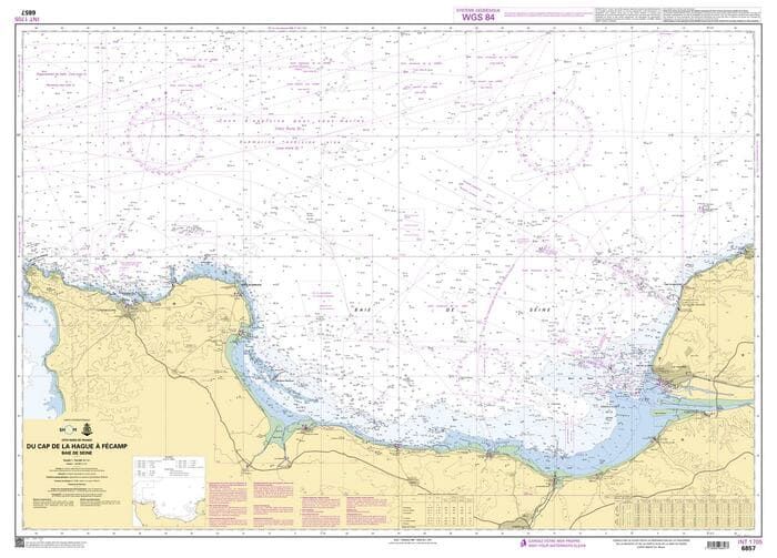
SHOM chart 6857L - Baie de Seine - Cap de la Hague to Fécamp

SHOM chart 6857L - Baie de Seine - du Cap de la Hague à Fécamp is a 1:154.200 scale Shom chart covering the Baie de Seine, Le Havre, Cherbourg, Fécamp, etc.
SHOM CHART
A SHOM chart is made of paper and filled with latex to give it excellent resistance to water while maintaining ease of writing.
Need an advice ?
SHOM CHART 6857L - BAIE DE SEINE - CAP DE LA HAGUE TO FECAMP
SHOM Chart 6857L - Baie de Seine - du Cap de la Hague à Fécamp is a 1:154.200 scale Shom marine chart covering the areas of the Baie de Seine, Le Havre, Cherbourg, Fécamp, etc.
THE SHOM CHART
A SHOM chart is made of paper and filled with latex to give it excellent water resistance while maintaining ease of writing. These charts are folded and updated.
This chart is folded to A4 (21 x 29.7 cm) and unfolded to A0 (84 x 119 cm).
Read more
Technical specifications
- Scale: 1:154 200
- Folded size: A4 - 21 x 29.7 cm
- Dimensions unfolded : A0 - 84 x 119 cm
- SHOM


