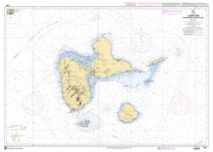
SHOM Charts - Martinique

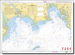
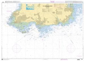
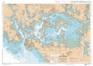
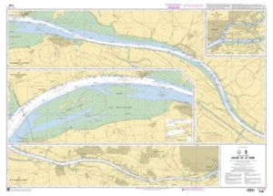
SHOM charts - Martinique are SHOM nautical charts of the Martinique coastline. You'll find a wide range of charts to choose from, depending on the area you're looking for.
Need an advice ?
SHOM CHARTS MARTINIQUE: MARINE CHARTS OF THE MARTINIQUE COASTLINE
SHOM charts - Martinique are SHOM nautical charts of the Martinique coastline. You'll find a wide range of charts to choose from, depending on the area you're looking for.
SHOM navigation charts are perfect for sailing along the Martinique coast:
- 6738L - La Martinique - Part Sud
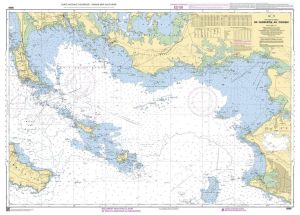
- 6892L - Fort-de-France Bay
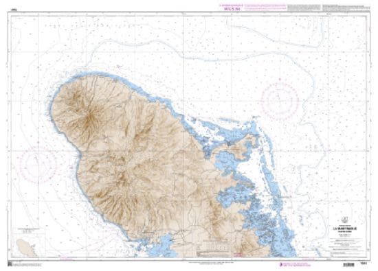
- 7041L - La Martinique - Northern part
- 7087L - Havre de la Trinité and Baie du Galion
- 7088L - Havre du Robert and Baie du François
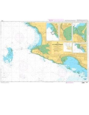
- 7089L - Saint-Pierre, Case-Pilote, Cul-de-Sac du Marin, Baie du Vauclin
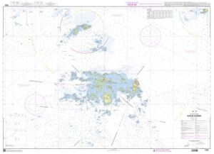
- 7616L - Dominica
THE SHOM CHART
A SHOM chart is made of paper and filled with latex to give it excellent water resistance while maintaining ease of writing. These charts are folded and updated.
This chart is folded to A4 (21 x 29.7 cm) and unfolded to A0 (84 x 119 cm).
Read more
Technical specifications
- List of SHOM charts :
- 6738L - Martinique - Southern part
- 6892L - Fort-de-France Bay
- 7041L - Martinique - North Part
- 7087L - Havre de la Trinité and Baie du Galion
- 7088L - Havre du Robert and Baie du François
- 7089L - Saint-Pierre, Case-Pilote, Cul-de-Sac du Marin, Baie du Vauclin
- 7616L - Dominica
- Dimensions folded: A4 - 21 x 29.7 cm
- Dimensions unfolded : A0 - 84 x 119 cm
- SHOM


