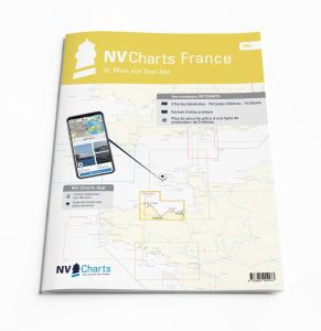
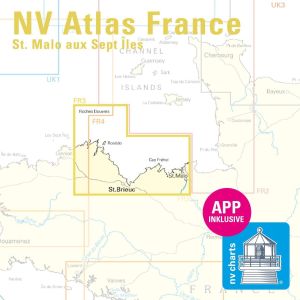
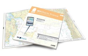
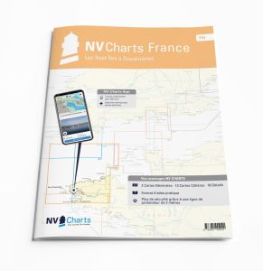
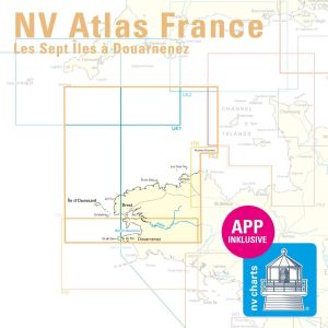
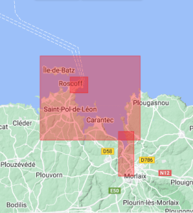
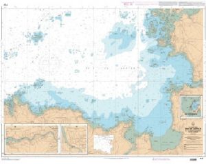
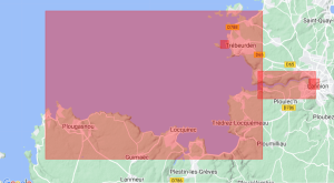
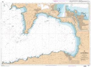
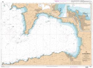
North Brittany marine chart
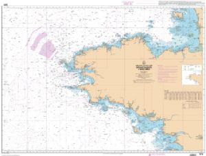
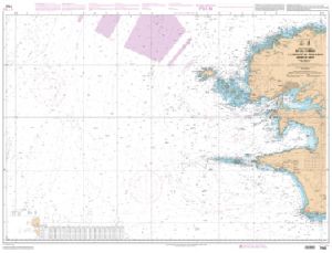
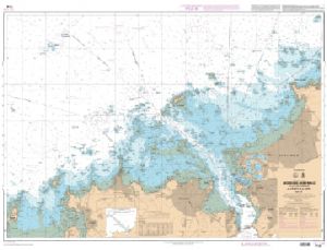
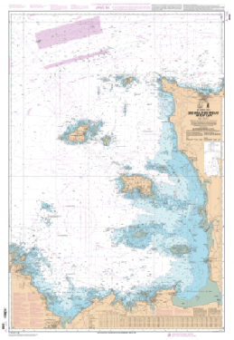
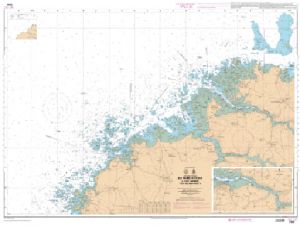
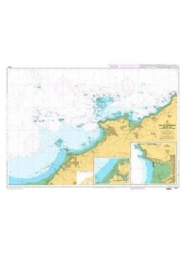
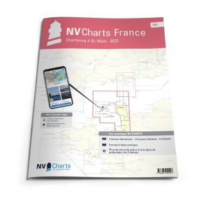
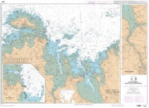
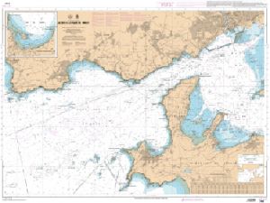
Boaters looking for a Northern Brittany nautical chart for precise navigation will find suitable solutions here to their needs. These maps provide a detailed view of the region's coasts and ports, allowing you to plan routes safely. Whether you are a novice or an experienced sailor, these maps are essential for safely navigating along the Breton coast.
PRECISE NAVIGATION WITH NORTH BRITTANY MAPS
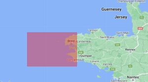
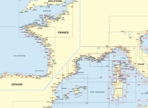
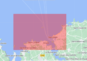
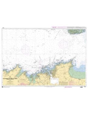
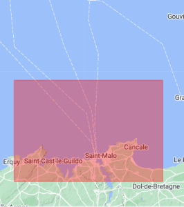
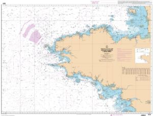
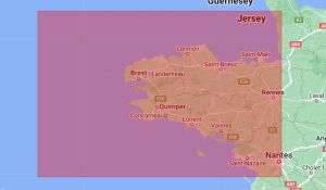
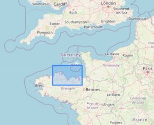
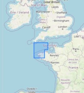
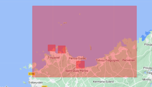
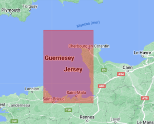
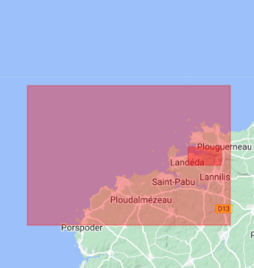
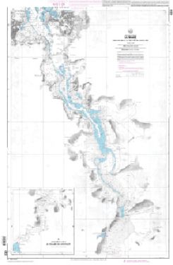
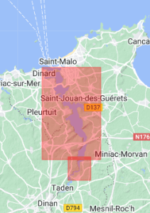
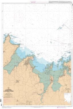
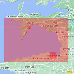
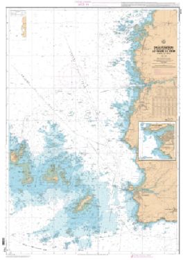
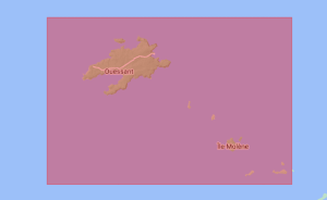
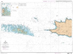
Our maritime maps of Northern Brittany, including , cover an extended area ranging from Saint-Malo at Raz de Sein. They include details about iconic locations such as and crucial navigation points like the Ouessant Rail. These charts are essential for safely navigating along the French coast, providing precise information on currents, tides and ports. They are perfect for careful navigation, whether for short excursions or longer crossings.
DISCOVER THE RICHES OF WESTERN BRITTANY
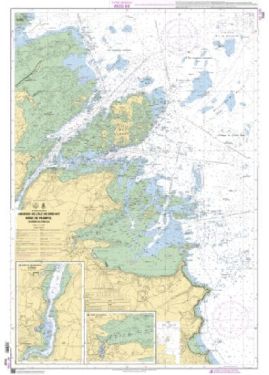
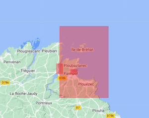
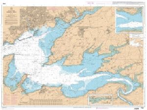
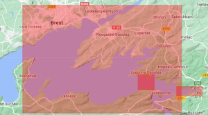
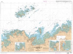
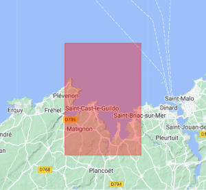
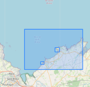
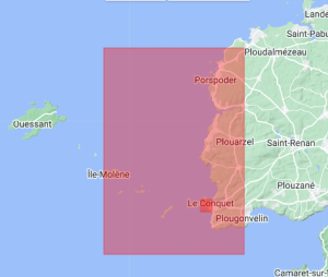
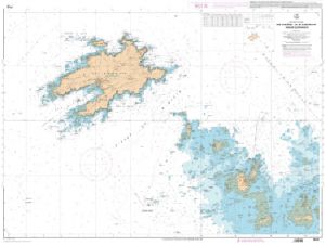
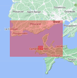
Explore the maritime treasures of West Brittany with our collection of maps detailing areas like the Bay of Saint-Brieuc , the Bréhat archipelago, and the Rade de Brest. The maps also cover less frequented areas, ideal for adventurers looking for secluded corners. They offer unrivaled precision for moorings, difficult passages, and ports of call. Mariners will appreciate information about the shipping channels, islands and reefs that dot this region rich in history and magnificent scenery.
MAPS FOR ALL TYPES OF NAVIGATION
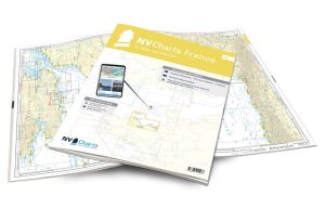
Whether you are looking for a northern Brittany maritime map or a North Finistere marine chart, you will find a complete range at Nautisports. Our charts are designed to meet the needs of boaters, fishermen, and professional navigators. With durable materials and high-quality printing, they guarantee easy reading and exceptional durability. Invest in quality navigation tools to ensure worry-free and secure travel. Order now on Nautisports to benefit from our expertise and our selection of high-precision nautical charts.


