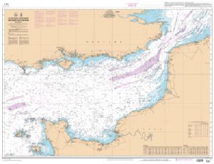
Channel & North Sea Marine Chart
For all amateur or professional navigators, a sleeve nautical chart is an essential tool for safe navigation. Whether exploring the coasts of Belgium or the Channel Islands, these maps allow you to identify Traffic Separation Devices and anticipate currents and tidal ranges.
A COMPLETE RANGE OF NAUTICAL CHARTS
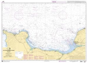
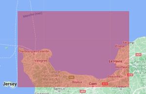
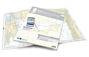
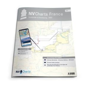
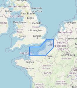
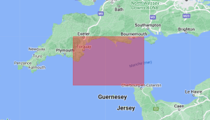
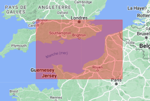
The selection of sleeve nautical charts available at offers precise details on the region's coasts and ports . These maps cover a large area, including the ports of Dunkirk, Calais, Boulogne, and as far as Cherbourg. You will also find maps for the regions of the North Sea, valuable for peaceful navigation. In addition, the presence of ensures precise and safe navigation in these complex waters.
NATURE CHART DETAILS AND QUALITY
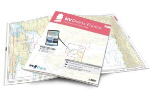
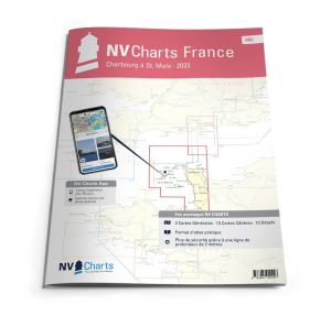
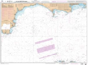
Available charts include editions from major brands like NV-Charts, Navicarte, or Imray, allowing navigators to choose according to their preferences. Whether you are looking for a nautical chart for coastal navigation or for crossing heavy traffic areas, each chart is designed to provide high readability and exemplary accuracy.
MAPS FOR DIFFICULT AREAS
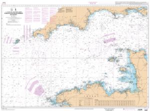
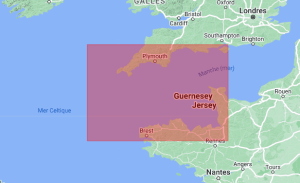
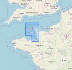
The Channel Islands are particularly well covered by our selection. Despite the challenges posed by strong currents and numerous reefs, our charts provide crucial information for navigating these areas safely. They allow sailors to avoid potential dangers and fully enjoy these charming destinations.
At Nautisports, we offer you a wide selection of maritime charts for safe and secure navigation. pleasant. Choose from our collection and get ready to explore the wonders of the English Channel and the North Sea with confidence.


