Offshore chart
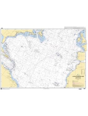
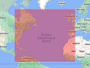
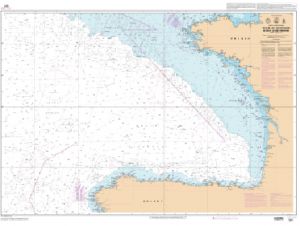
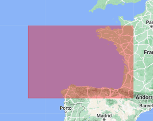
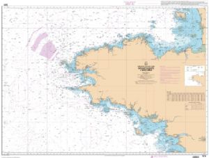
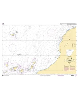
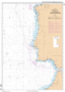
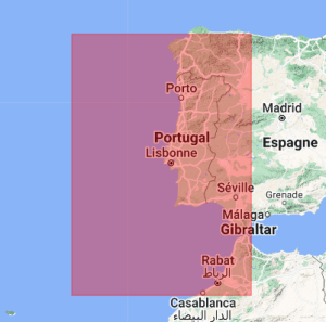
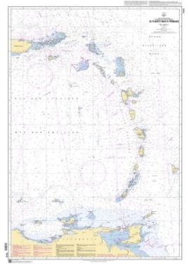
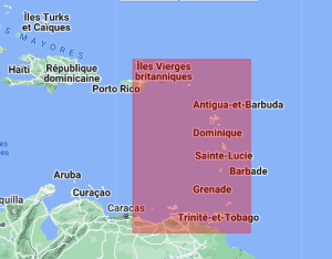
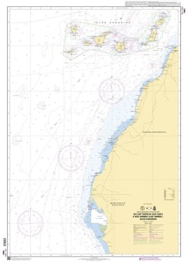
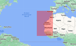
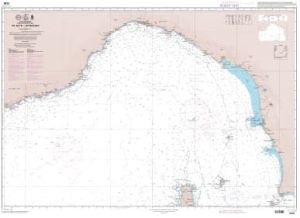
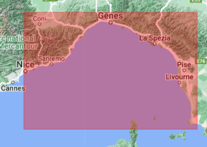
Navigating safely in Atlantic waters requires careful planning, and a North Atlantic map is essential for precise navigation. These detailed nautical charts provide a comprehensive overview, allowing sailors to orient themselves precisely while avoiding potential dangers. They are particularly useful for planning routes along the Atlantic coast map, thus ensuring smooth and trouble-free navigation.
UNRIVALED PRECISION FOR BROWSERS
Nautical charts, like the North Atlantic Chart, are designed to provide accurate information and updated on maritime areas. They are essential for all browsers, whether professional or amateur. These charts include details of currents, tides and depths, essential for safe navigation. Using the is essential to ensure accurate navigation. These charts are not only reliable but also easy to read, with regular updates to reflect changes in the maritime environment.
BROWSE WITH CONFIDENCE
At Nautisports, we understand the importance of having an Atlantic Ocean chart high quality for confident browsing. This is why we offer a complete range of nautical charts adapted to all situations. Whether you are a seasoned sailor or a boater, our selection will help you plan your trips with complete peace of mind. Don't wait any longer to equip yourself with the best nautical charts and navigate in complete safety with Nautisports products.


