Overseas marine chart
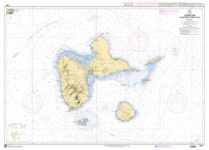
**Guadeloupe nautical charts** are essential for boaters looking to explore the region's turquoise waters. They allow safe and precise navigation around the islands of Guadeloupe, including **Les Saintes Guadeloupe nautical charts**. These maps detail the different navigation zones and coastal features, thus offering a complete view to plan your journeys.
NAVISE SELFLY WITH OUR NAUTICAL CHARTS
Our **Guadeloupe nautical charts** offer comprehensive coverage of the surrounding waters, including . These maps, in particular the **Guadeloupe Shom nautical charts**, are ideal for boaters thanks to their practical format and their exceptional precision. They include crucial information for avoiding underwater obstacles and navigating safely. Available in **navicarte** format for better accessibility, they are an essential tool for all browsers.
A WIDE SELECTION FOR YOUR NEEDS
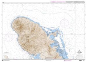
Explore the coasts and islands with our **Guadeloupe nautical charts**. Each chart is carefully detailed to cover the most popular sailing areas, including **Martinique marine chart**. The cards are designed to be easily folded and stored, ensuring optimal organization on board. Whether you're sailing near shore or on the high seas, our charts are a trusted companion on all your journeys.
AVAILABILITY AND ORDERS ON NAUTISPORTS
Order your **Guadeloupe nautical charts** now on Nautisports and get ready for safe navigation. Our charts, including **Guadeloupe Shom nautical charts**, are available for fast and reliable delivery. Take advantage of our wide selection to find the map that meets your navigation needs. Trust Nautisports for your quality nautical equipment.


