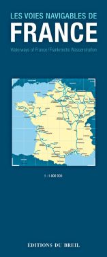
River Map
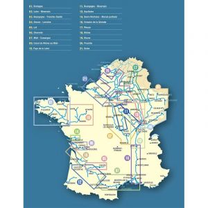
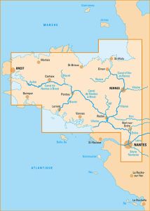
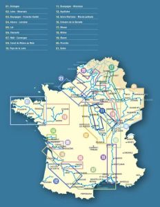
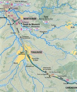
The maps of the waterways of France are an essential tool for any navigation enthusiast. They offer a detailed and precise view of the different river routes, allowing you to carefully plan your journeys. These maps, such as the river map and the river navigation map, provide essential information on track lengths, bridge heights and drafts, for an optimal browsing experience.
ALL THE ESSENTIAL INFORMATION
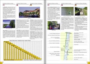
The waterway maps detail in minute detail the different structures present on the routes, such as the locks and bridges, helping navigators anticipate navigation conditions. You will find on these documents all the necessary information, such as the waterways map and the river navigation map, to choose the best route according to the characteristics of your boat.< /span>
A VALUABLE TOOL FOR EVERY BROWSER
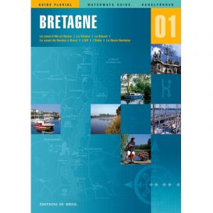
These maps of the waterways of France are also a valuable resource for navigation enthusiasts who want to discover new routes. They allow you to explore the smallest nooks and crannies of French waterways, offering an enriching and secure experience. Additionally, specialized guides like can provide additional details and practical tips for successful navigation.
AN ESSENTIAL RESOURCE FOR EVERYONE
At Nautisports, we offer a wide selection of waterway maps of Franceto meet the needs of all browsers. Whether you are a beginner or an expert, our maps including , are designed to provide you with smooth and hassle-free navigation. Trust Nautisports to equip yourself optimally and fully enjoy your nautical adventures.


