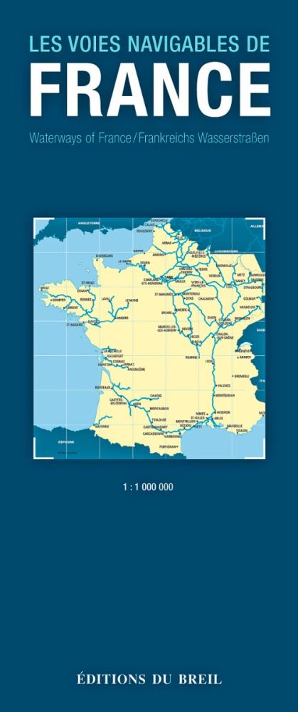
Map of French waterways
€12.00
Ships in 6 to 8 days
SKU
PL-1090067
Ref. : PL-1090067


The Map of French Water ways details all the canals, rivers and streams of the French territory at a scale of 1/1 000 000.
Need an advice ?
MAP OF THE NAVIGABLE WATERWAYS OF FRANCE : A MAP FROM EDITIONS DU BREIL
The Map of French Water ways details all the canals, rivers and streams of the French territory at a scale of 1/1 000 000.
You will find all the characteristics for each waterway such as the length, the air and water draft, the locks, etc.
Read more
Technical specifications
- Scale 1/1 000 000
- Editions du Breil
Upgrade your gear
Write Your Own Review


